We are creating a first-of-its-kind software tool to change the face of rural planning.
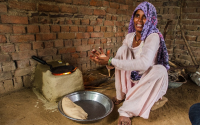
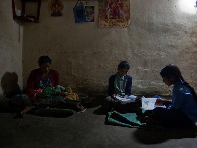
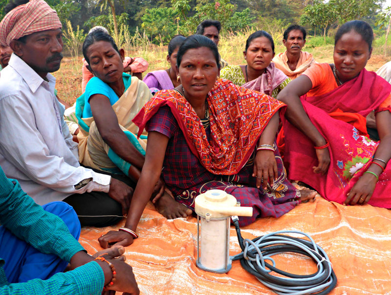
Rural developers need more information. Many times, when individuals or groups develop some sort of solution for the rural context, they pick a community based on connections or location, enter the village, survey it, swing hammers, and deploy their widgets. The result of this ad hoc process is that the data obtained are not always generalizable and the ability to grow into the enormous untapped BOP market is compromised. It is therefore no surprise that the most common failure mechanism for so many rural development initiatives is an inability to scale to meaningful levels. Unfortunately, very little information about these rural contexts exists and as a result decisions regarding siting, planning, and scaling are made with little-to-no input other than anecdotal evidence.
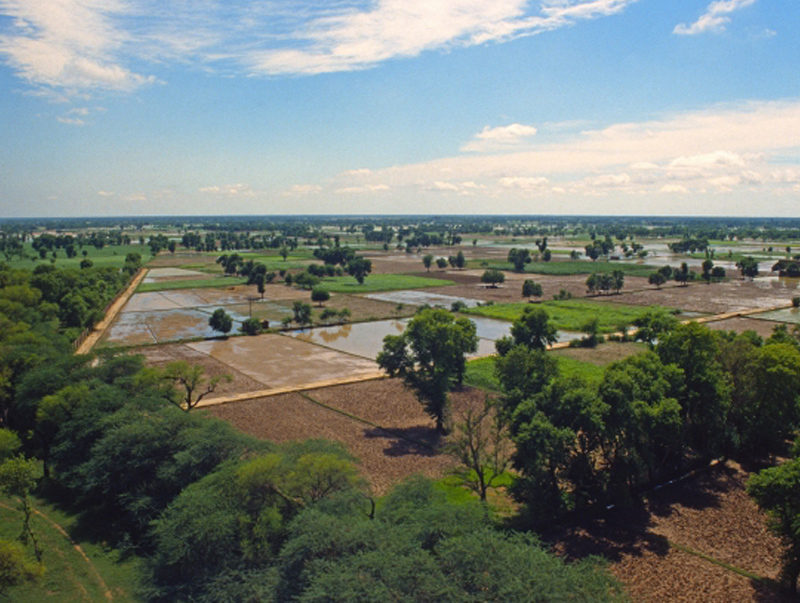
We can help them do better. In order to encourage and empower rural development initiatives to exercise more diligence in their projects I am working with a team of fellow graduate student volunteers to create a product that extracts rich data sets of rural topology and demography where there once was none. By processing remotely sensed data like satellite images with machined learned and neural network algorithms we are able to rapidly and efficiently digitize thousands of villages/roads/farms that, up to this point, are only known by landmarks and paper sketches. We can then use these layers of data to simulate optimal microgrids, rural supply-chain logistics, and agricultural growth strategy.
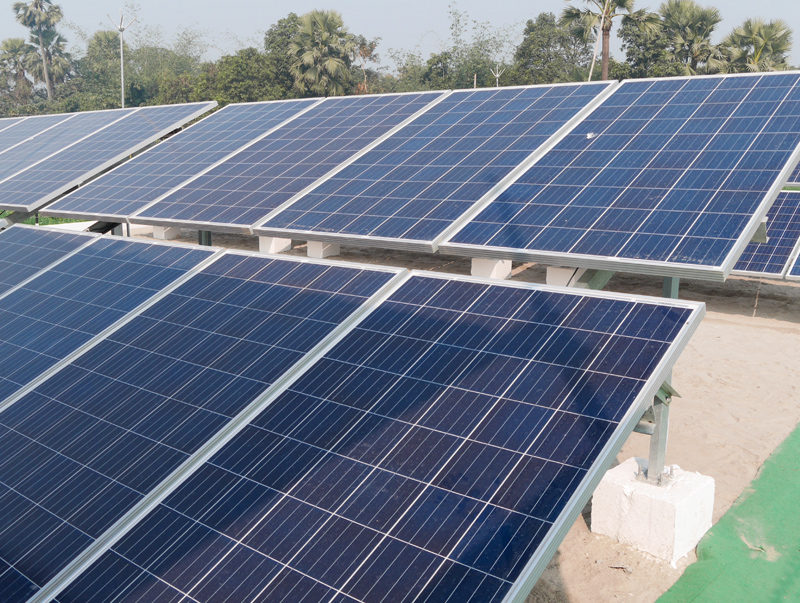
Fancy hardware won’t solve our biggest BOP challenges – knowledge will. Unfortunately, developing cheaper hardware, a common focus amongst academics, provides little support for an industry that suffers from a lack of data and forethought rather than a lack of technology. With our data services everyone from policy makers to hardware companies can be more informed about where to develop, how to develop, and trends from one site to the next. Such information saves the private sector money and empowers the public sector to make more informed decisions.
WINNER: IDEAS Global Challenge 2014