PROJECT DETAILS
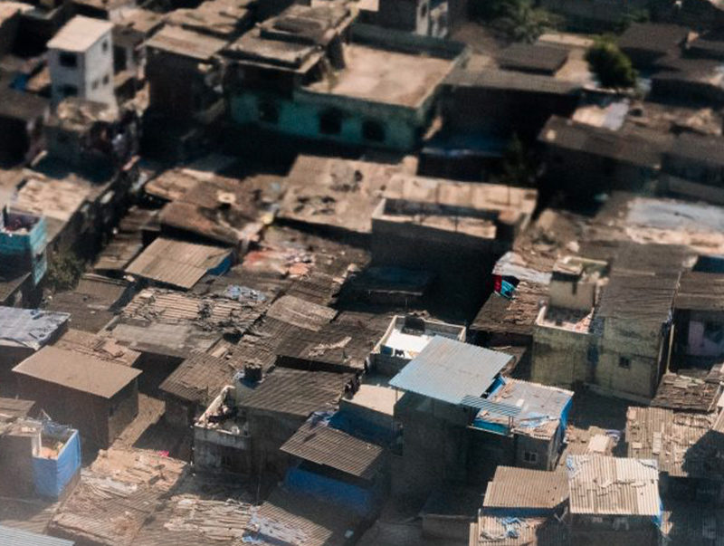
- Focus Area Housing
- Faculty Miho Mazereeuw
- Fellow Abraham Quintero
- Mentor Aditya Barve
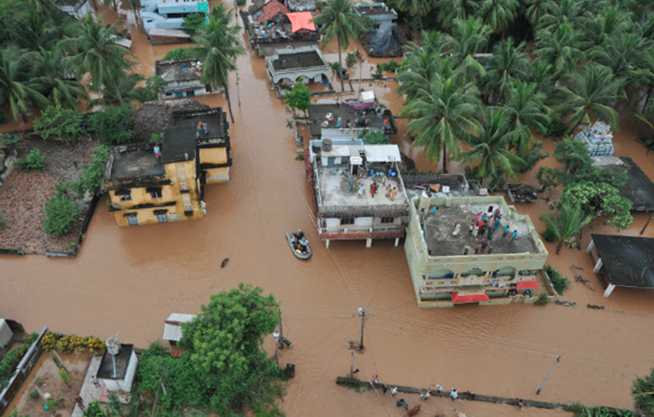
Riskmap.in is a real-time flood map which harnesses the power of social media and citizen reporting to display critical information on a public web map. The aim of this research is to implement the concept of ‘people as sensors’ during disasters – people collecting information to aid in the recovery process and posting this information for broad dissemination outside of the established traditional channels of emergency response. Social media today is extensively used for emotional support, sharing and receiving information about relief funds, shelter, food, and staying safe during natural disasters. This project will develop a web based platform to collect, process, and analyze real-time crowd-sourced disaster related data and disseminate it to disaster management agency as well as general public.
Using automated chatbots, Riskmap platform actively engages with residents on different social media like Facebook, Telegram, Twitter, and conventional text messages to collect real-time flood reports. These reports are then verified, and visualized on an interactive map platform in realtime. This web-map of flood zones can then be used by the government for planning rescue operations, as well as by the citizens, to make decisions about where to evacuate from and which areas to avoid during flooding.
Riskmap platform connects residents, who often have the best-localized information, with emergency managers to drastically cut down on the response time. Through the live map, residents are also able to inform each other about changing flood conditions and help each other navigate to safety. This platform was widely used during a high-intensity rainfall event in Chennai on November 2, 2017 – third highest rain in the history of the city for November. The platform had over 1152 page views a minute at its peak and 111,808 page views in 24 hours. This platform is currently operational in Chennai, Bangalore, Mumbai as well as Kerala and Madhubani district of Bihar.
Current research work also focuses on extending the system beyond flooding to include multiple hazards types and developing custom decision support tools for the governments. We are actively working on integrating weather data and leveraging machine learning to automate outreach to inform residents to prepare before the peak of the storm, which enhances the two-way communication capabilities of this platform.
Download Information Handout:
Riskmap.in Information Handout
External Links: